Map Gallery Street Index MapStreets, highways, trails, parks, civic landmarks, and municipal boundaries Bike Route MapMarked, and un-marked bicycle routes on streets and trails Neighborhoods MapNeighborhood boundaries and names Zoning MapZoning general use types and subareas referenced by Bellingham Municipal Code Lake Whatcom Bathymetric MapIllustrates the topography of Lake Whatcom both above and below the surface shoreline Lake Whatcom Topographical MapTopographic relief, forest cover, and bathymetry of the Lake Whatcom Watershed Forest Cover MapIllustrates forest cover classified by canopy height Geological Hazards MapGeologic hazards referenced by Bellingham’s Critical Areas Ordinance Aspect Slope and Wind Direction MapIncludes directional graph showing prevailing wind direction and speed Topographic Base MapTopographic landforms, including shaded relief, and elevation ranges Watersheds and Sub-Basins MapPrimary watersheds, and contributing sub-basins for local lakes and streams Wetlands MapWetland inventories, and site-specific wetland delineations for Bellingham area 1922 Bellingham Plat MapPlatted streets and blocks for City of Bellingham circa 1922 1892 Fairhaven and Vicinity MapPlatted streets and blocks for historic town of Fairhaven and vicinity circa 1892 1890 Bellingham Bay Cities Plat MapPlatted streets and blocks for local towns circa 1890 1889 Sehome and Vicinity Plat MapPlatted streets and blocks for historic town of Sehome circa 1889 Historic Railway and Trolley Routes MapHistoric rail lines, historic trolley routes, and current rail lines Historic Trolley Routes by Date MapHistoric trolley routes by the date each was built. Includes name and year for each route Incorporation and Annexation History MapIllustrates annexations from 1903 incorporation to present day Street Percent Gradient MapIllustrates the slope percentage (steepness) of local streets on a block-by-block basis Truck Routes MapArterial streets designated by Bellingham Municipal Code 11.63.140 as truck routes Parks, Trails, and Natural Areas MapPublic lands and open space in and around the City of Bellingham Land Purchased with Greenway Levies Map​Illustrates lands purchased with Greenway Levies Bellingham Coal Mine MapBellingham Bay Improvement Company’s coal mine operation Resources Census Blocks MapsElection Boundaries Maps
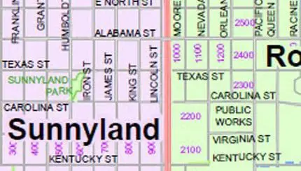
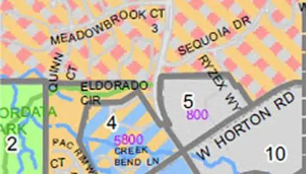
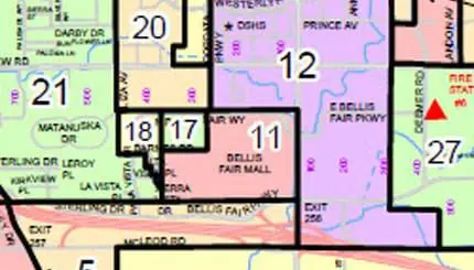
Neighborhood MapsTraffic MapsPublic Art – Interactive Map TourOnline Map Viewer