Habitat Photos is an opportunity for the community to help track the changes happening at our habitat restoration sites by creating crowd-sourced time-lapse videos. Your photos document each site’s progress and show how the hard work from community and agency partners has contributed to a healthier ecosystem for fish, wildlife, and people.
Time-lapse Videos
View time-lapse videos for all of the City of Bellingham photo stations on the Chronolog website:
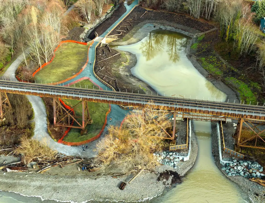
There are two photo stations located at Little Squalicum Estuary in Little Squalicum Park. Completed in 2024, this project constructed a 2.4-acre estuary and removed a partial fish passage barrier at the mouth of Little Squalicum Creek. The estuary provides critical habitat for all five Pacific salmon species, especially young salmon originating from the lower Nooksack basin (Bellingham Bay, Squalicum, and the Nooksack River).
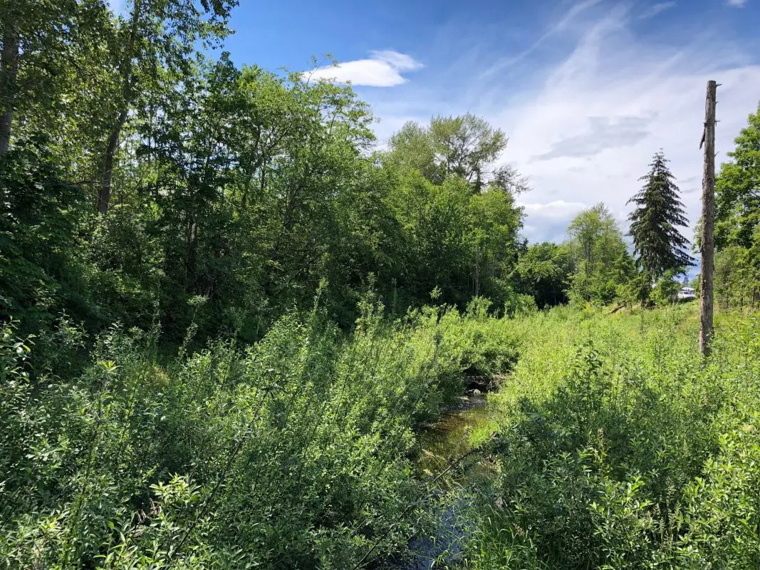
The two photo stations located on the pedestrian footbridge near the Squalicum Creek Re-route Phases 1 and 2 restoration project show a downstream and upstream view of this restoration project. Constructed in 2015, the project removed fish passage barriers, improves water quality, and reconnected the stream to its floodplain.
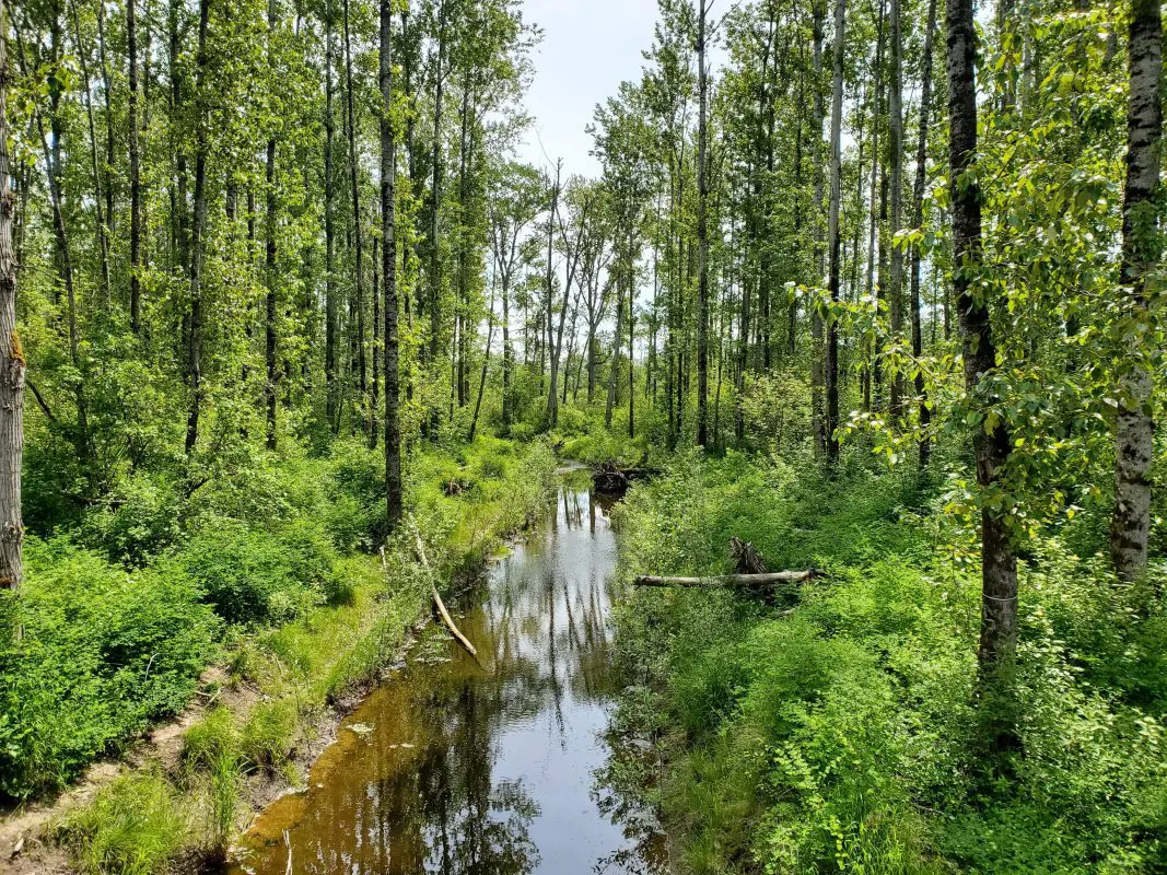
The two photo stations located on the pedestrian footbridge near the Padden Creek Daylighting project site show a downstream and upstream view of this restoration project, which moved Padden Creek out of an underground tunnel into a newly constructed stream channel in 2015. This project improves fish habitat and reduces flooding risks to nearby homes.