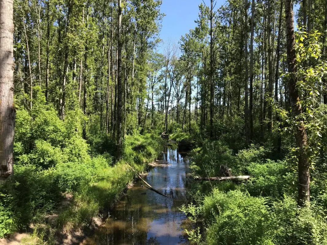
Squalicum Creek is a lowland stream that originates in the Cascade foothills east of Bellingham and flows west through the City limits before entering Bellingham Bay. The stream drains approximately 22 square miles and historically provided approximately 32 miles of accessible salmon habitat (Williams 1976). The stream currently provides habitat for coho, chum, pink, and Chinook and steelhead (both listed under the Endangered Species Act). It also supports populations of fish, birds, and mammals, as well as recreational opportunities for citizens. However, the health of this ecosystem is in jeopardy. Symptoms of ecosystem stress include exceedances of water quality standards and declining salmon populations.

The largest thermal-loading (i.e. heat) issues in Squalicum Creek were formerly caused by Sunset Pond and Bug Lake. These two water bodies are man-made borrow pits created during the construction of I-5. Because the ponds are both shallow and wide, they absorb large amounts of solar heat, causing peaks in water temperature that are harmful to salmon.
Phases 3 and 4 – completed 2021
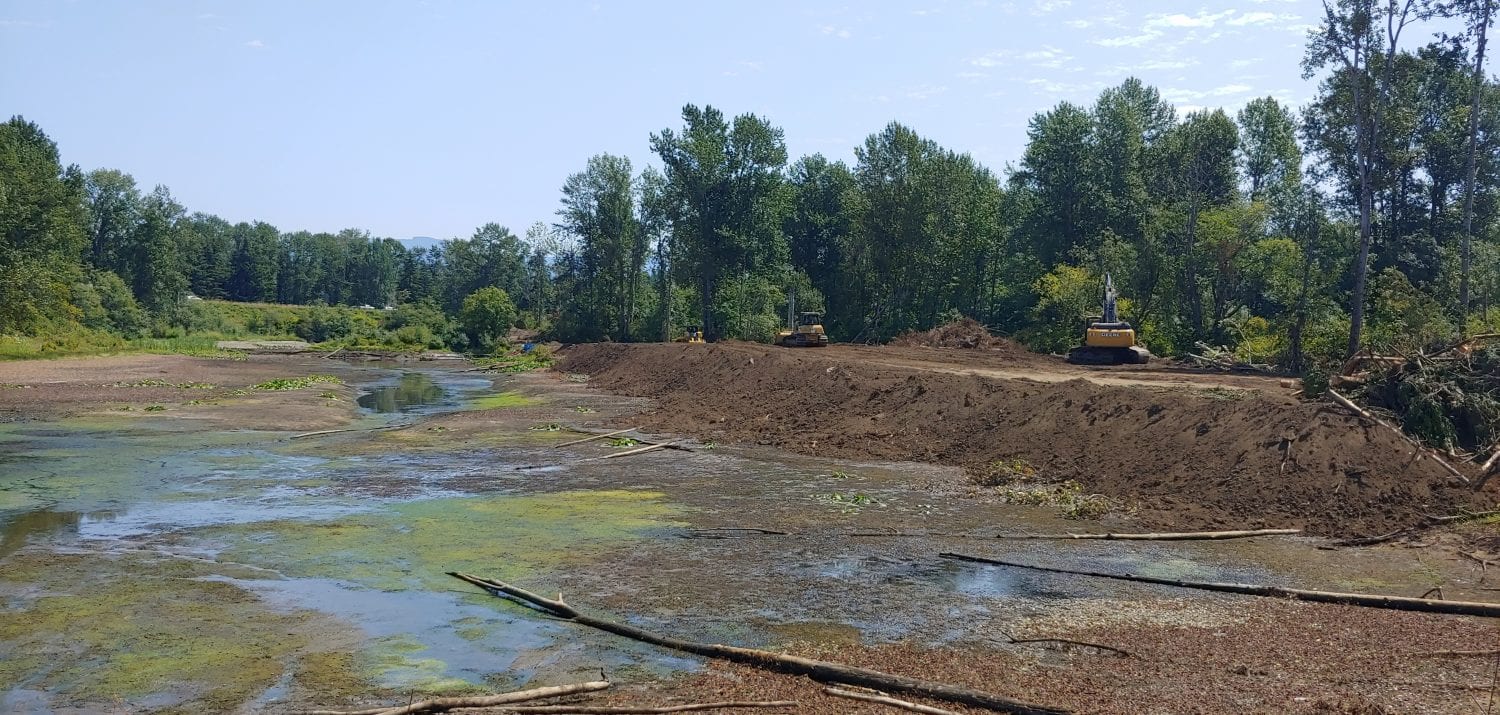
Phases 3 and 4 of the Squalicum Creek Re-route Project built upon two prior phases to address water quality and habitat issues associated with Bug Lake and the area immediately downstream of Bug Lake. The project restores approximately 2/3 of Bug Lake to a forested wetland. The creek channel now flows through a historic channel south of the restored forested wetland, crossing under Squalicum Parkway in a new fish-passable culvert, and follows two remnant channels northwest to rejoin the current creek channel. This graphic provides an aerial view of the project area.

This project:
- Reduces stream temperatures by reducing residence time, increasing riparian shade, and capturing cool groundwater inputs south of the former Bug Lake
- Increases channel length, riparian cover, and riparian width west of Squalicum Parkway
- Restores riverine wetland to improve water quality functions, and
- Bypasses a partial fish passage barrier at Squalicum Parkway.
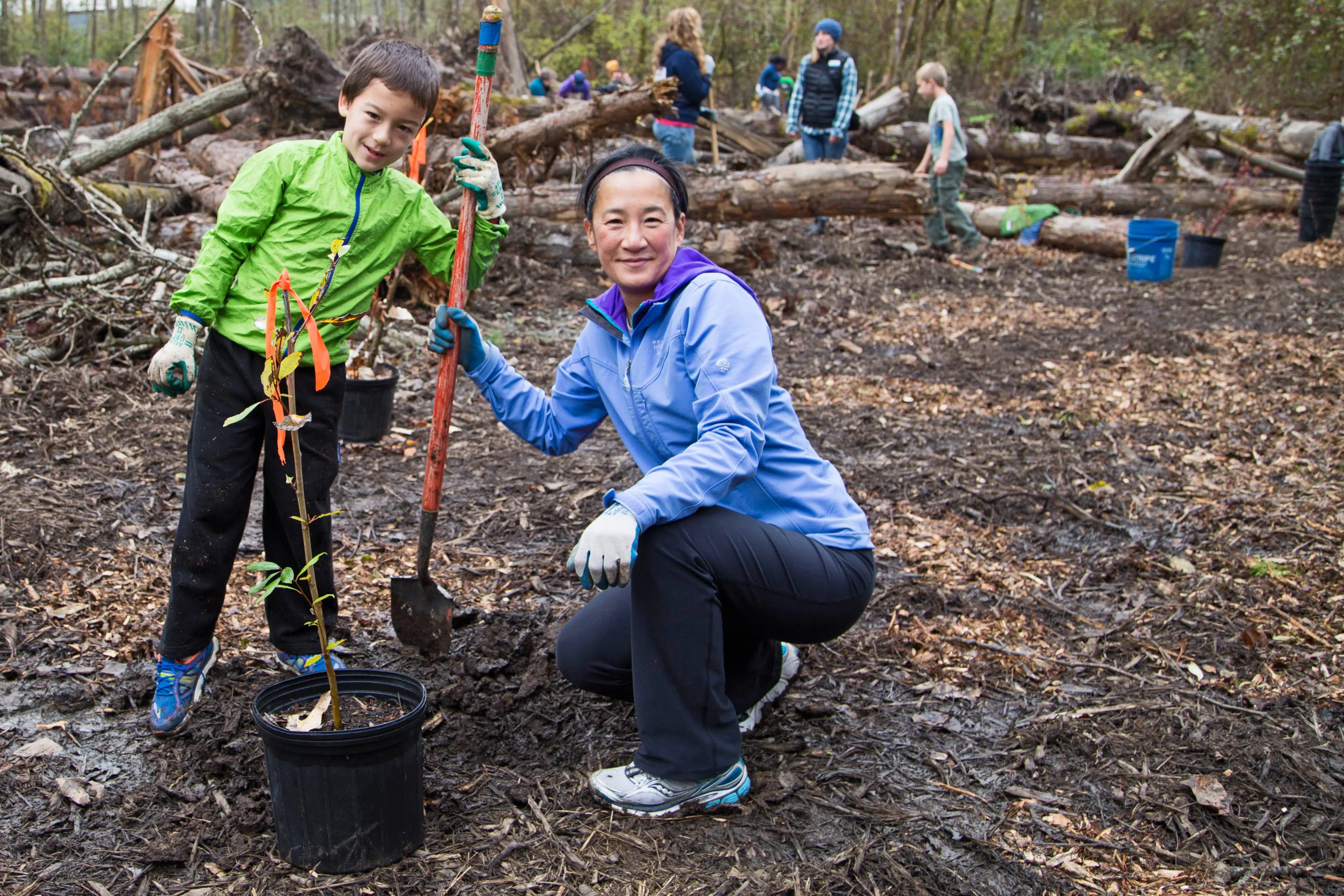
Project construction took place between June and December 2020. Native plants were planted at the site through early 2021. The Squalicum Creek Re-route project was closely coordinated with the Orchard Drive Extension, a project constructed in the same general area.
Phases 1 and 2 – completed 2015
During the summer of 2015, Phases 1 and 2 of the Squalicum Creek project re-routed nearly a mile of Squalicum Creek around Sunset Pond into a newly created channel, reactivating remnant channels and reconnecting the stream with its floodplain. This project also eliminated existing fish passage barriers at James Street and I-5, opening up over 22 miles of salmon habitat upstream of James Street. This project is anticipated to decrease water temperatures, improve dissolved oxygen levels, enhance biotic integrity and benefit salmon habitat in Squalicum Creek by routing water flow away from Sunset Pond.
Reactivating remnant channels and reconnecting the stream with its floodplain will make self-sustaining improvements to habitat conditions of Squalicum Creek. The project phases were designed with a thorough understanding and consideration of the hydrology, climate patterns, geology, and ecology of the watershed.

Phase 1 runs from the northeast corner of Bug Lake eastward to James Street and is funded by a $1.7 million grant and loan package from the Department of Ecology (DOE). The City received an additional $2.1 million grant and loan package from the DOE for Phase 2, which runs from James Street eastward to Irongate. The City contracted with Interfluve, Inc. for the design and permitting of both phases and Washington Department of Transportation installed a culvert under I-5 to accommodate the re-route.
The first two phases of the Squalicum Re-route project received two national awards:
- The EPA’s Performance and Innovation in the SRF Creating Environmental Success (PISCES) award (2018)
- The American Public Works Association’s (APWA) Public Works Project of the Year Award (2016)
Reference Documents
- Map of Squalicum Creek Re-route Project Phase 1-4
- Phases 3 and 4 Squalicum Creek Re-route 100% Design Plans
- Phases 1 and 2 Squalicum Creek Re-route 100% Design Plans
- Phases 1 and 2 Squalicum Creek Re-route Conceptual Plan PowerPoint Presentation May 23, 2011 (PDF)
- Squalicum Creek Re-route Feasibility Study and Figures 1, 3, 4 and 5 (PDF)
- Figures 2a, 6a and 6b (PDF)
- Cornwall Park Current Neighborhood Newsletter February 2013
- Squalicum Creek Re-route Construction Feature Story
- Squalicum Creek Re-route Project Benefits Poster (PDF)
- Squalicum Creek Re-route Habitat Benefits Poster (PDF)
- Project of the Year: Squalicum Creek Reroute (PDF)
Resources
- Wildlife Habitat Assessment
- City Restoration Sites
- Lake Whatcom Restoration Sites
- Washington Conservation Corps
- Stream Sense Brochure
- Invasive and Noxious Weeds
- Water Quality
- Public Works Contacts
- Habitat Restoration Websites
- Phases 3 and 4 Project Webpage
Contacts
Analiese Burns, Project Manager
Habitat and Restoration Manager
Public Works Department, Natural Resources
(360) 778-7968, acburns@cob.org
Craig Mueller, P.E.
Project Engineer
Public Works Department, Engineering
(360) 778-7922, camueller@cob.org
Public Works Contacts
