Skip to content
Menu
MENU
MENU
Home
Government
Mayor's Office
City Budget
Mayor’s Office News
Top Issues
Mayoral Orders
Proclamations
More...
City Council
City Council Home
Council Meetings
Public Involvement
Boards and Commissions
Volunteering
Voter Information
City Social Media
More...
Municipal Court
Court Information
Parking Tickets
Infractions
Criminal Misdemeanors
Local Resources
More...
Rules and Regulations
City Charter
Municipal Code
Ordinances
Resolutions
Development and Design Standards
Construction Codes
About
About City Government
City Projects
Departments
City Attorney
Finance
Fire and Emergency Medical Services
Hearing Examiner
Human Resources
Information Technology
Library
Museum
Parks and Recreation
Planning and Community Development
Police
Public Works
Services
Arts & Culture
Funding Opportunities
Public Art
Mount Baker Theatre
Whatcom Museum
More...
Business
City Purchasing
Starting a Business
Incentives
Taxes
Tourism
More...
Community Planning
Development Codes & Incentives
Comprehensive Plan
Neighborhoods
Urban Villages
More...
Education
Library
Schools
BTV Bellingham
Presentations and Tours
More...
Environment
Climate
Lake Whatcom
Fish and Wildlife Habitat
Stormwater
More...
Housing and Human Services
Housing Laws and Rental Protections
Shelter and Human Services
Funding Support and Incentives
More...
Maps and GIS Apps
Aerial Photos
CityIQ Online Maps
Data and Downloads
Land Parcel Reports
More...
Permits
Applications and Forms
Online Permitting
Inspections
Rental Registration
More...
Recreation
Aquatic Center
Classes and Activities
Facility Rentals
Parks and Trails
Parks Volunteer Program
More...
Safety
Fire
Police
Emergency Management
More...
Transportation
Biking and Walking
Buses
Parking
Street Maintenance
More...
Utilities
Billing and Rates
Solid Waste and Recycling
Storm and Surface Water
Wastewater and Sewer
More...
Visiting
Home
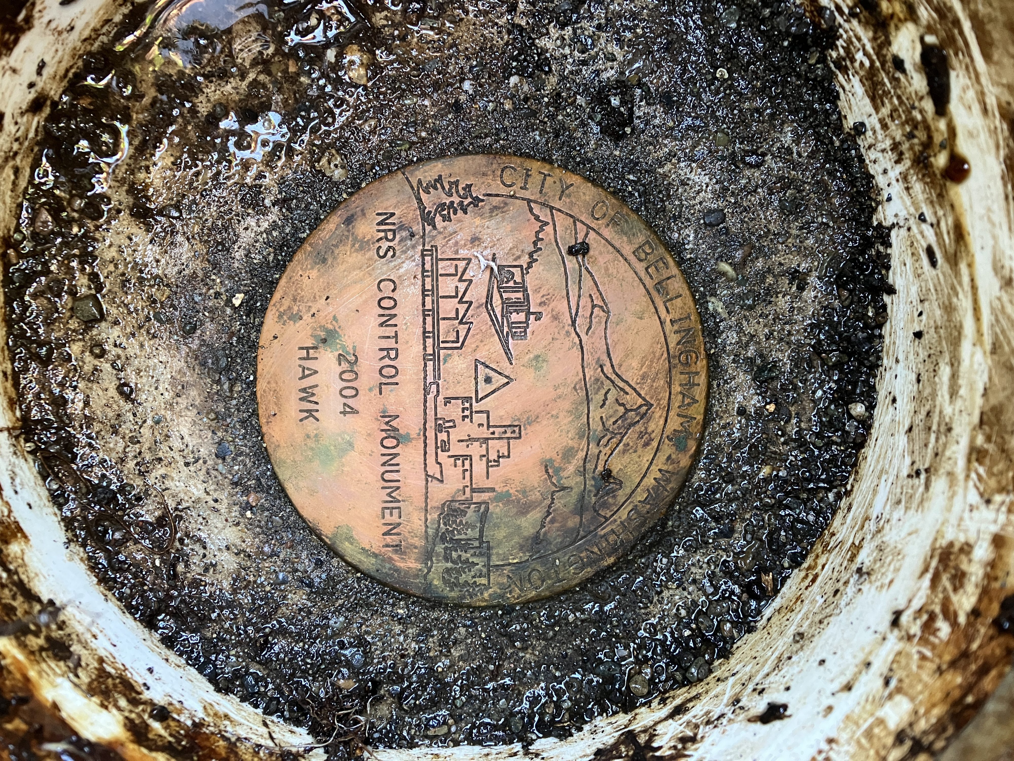
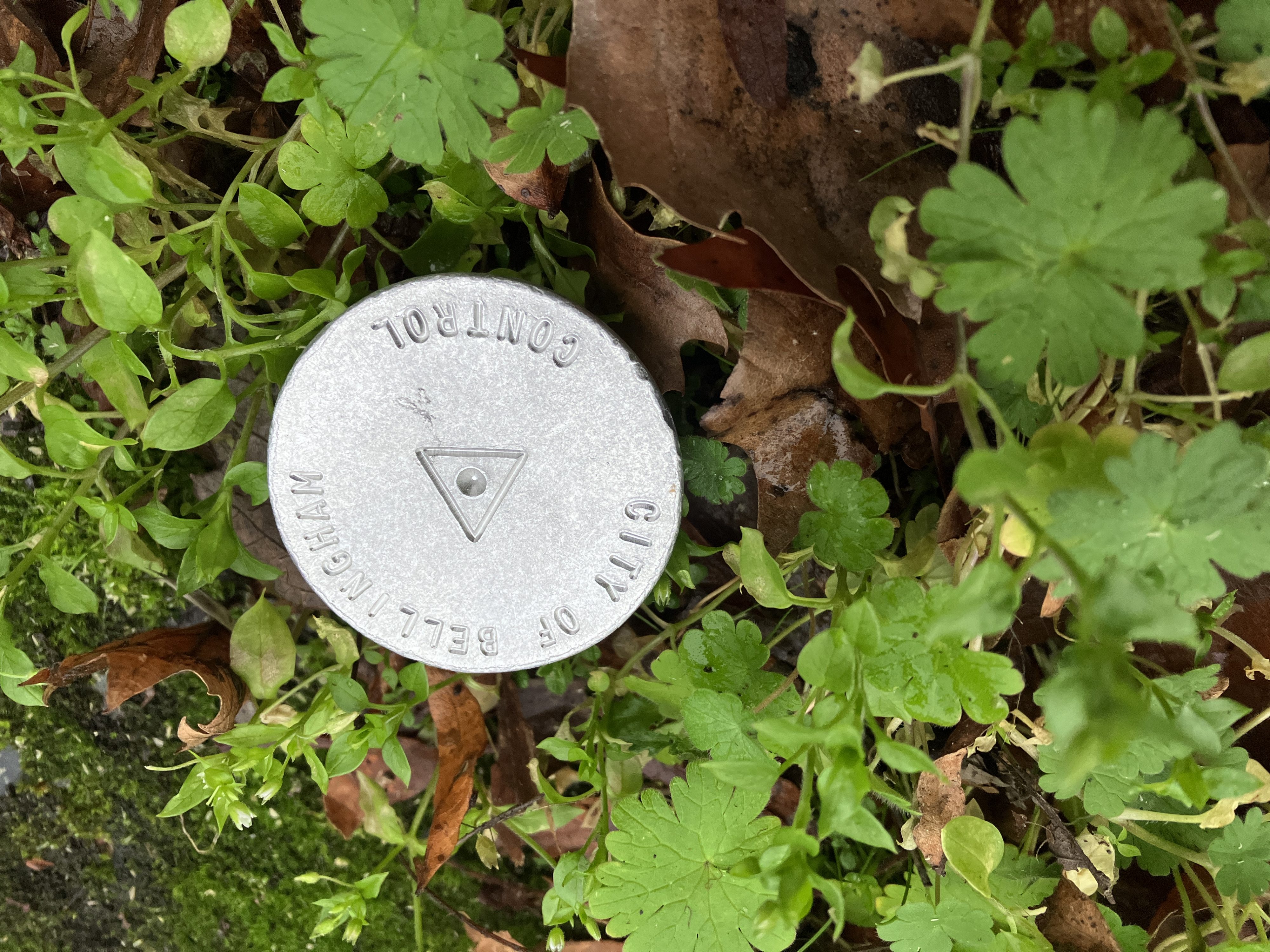
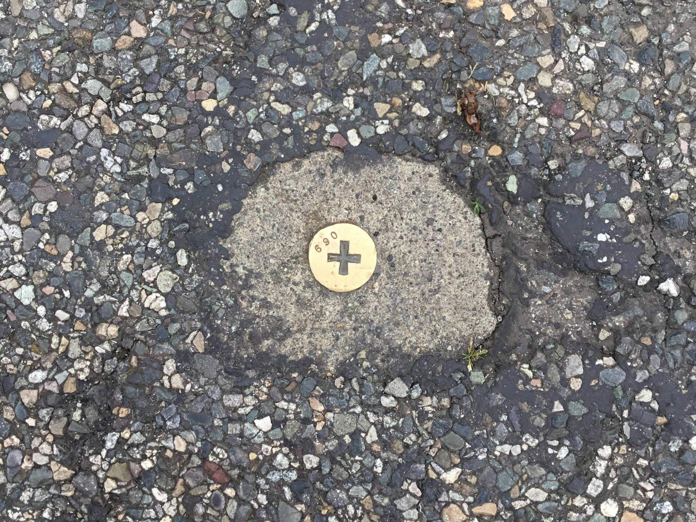
Survey Data and Information
Close
Home
Government
Rules and Regulations
City Charter
Municipal Code
Ordinances
Resolutions
Development and Design Standards
Construction Codes
About
About City Government
City Projects
Departments
City Attorney
Finance
Fire and Emergency Medical Services
Hearing Examiner
Human Resources
Information Technology
Library
Museum
Parks and Recreation
Planning and Community Development
Police
Public Works
Municipal Court
Court Information
Parking Tickets
Infractions
Criminal Misdemeanors
Local Resources
More…
Mayor’s Office
City Budget
Mayor’s Office News
Top Issues
Mayoral Orders
Proclamations
More…
Public Involvement
Boards and Commissions
Volunteering
Voter Information
City Social Media
More…
City Council
City Council Home
Council Meetings
Services
Arts & Culture
Funding Opportunities
Public Art
Mount Baker Theatre
Whatcom Museum
More…
Business
City Purchasing
Starting a Business
Incentives
Taxes
Tourism
More…
Community Planning
Development Codes & Incentives
Comprehensive Plan
Neighborhoods
Urban Villages
More…
Education
Library
Schools
BTV Bellingham
Presentations and Tours
More…
Environment
Climate
Lake Whatcom
Fish and Wildlife Habitat
Stormwater
More…
Housing and Human Services
Housing Laws and Rental Protections
Shelter and Human Services
Funding Support and Incentives
More…
Maps and GIS Apps
Aerial Photos
CityIQ Online Maps
Data and Downloads
Land Parcel Reports
More…
Permits
Applications and Forms
Online Permitting
Inspections
Rental Registration
More…
Recreation
Aquatic Center
Classes and Activities
Facility Rentals
Parks and Trails
Parks Volunteer Program
More…
Safety
Fire
Police
Emergency Management
More…
Transportation
Biking and Walking
Buses
Parking
Street Maintenance
More…
Utilities
Billing and Rates
Solid Waste and Recycling
Storm and Surface Water
Wastewater and Sewer
More…
Visiting
Secret Link