The City Center Neighborhood is the dominant cultural, civic, financial and service center of Bellingham.
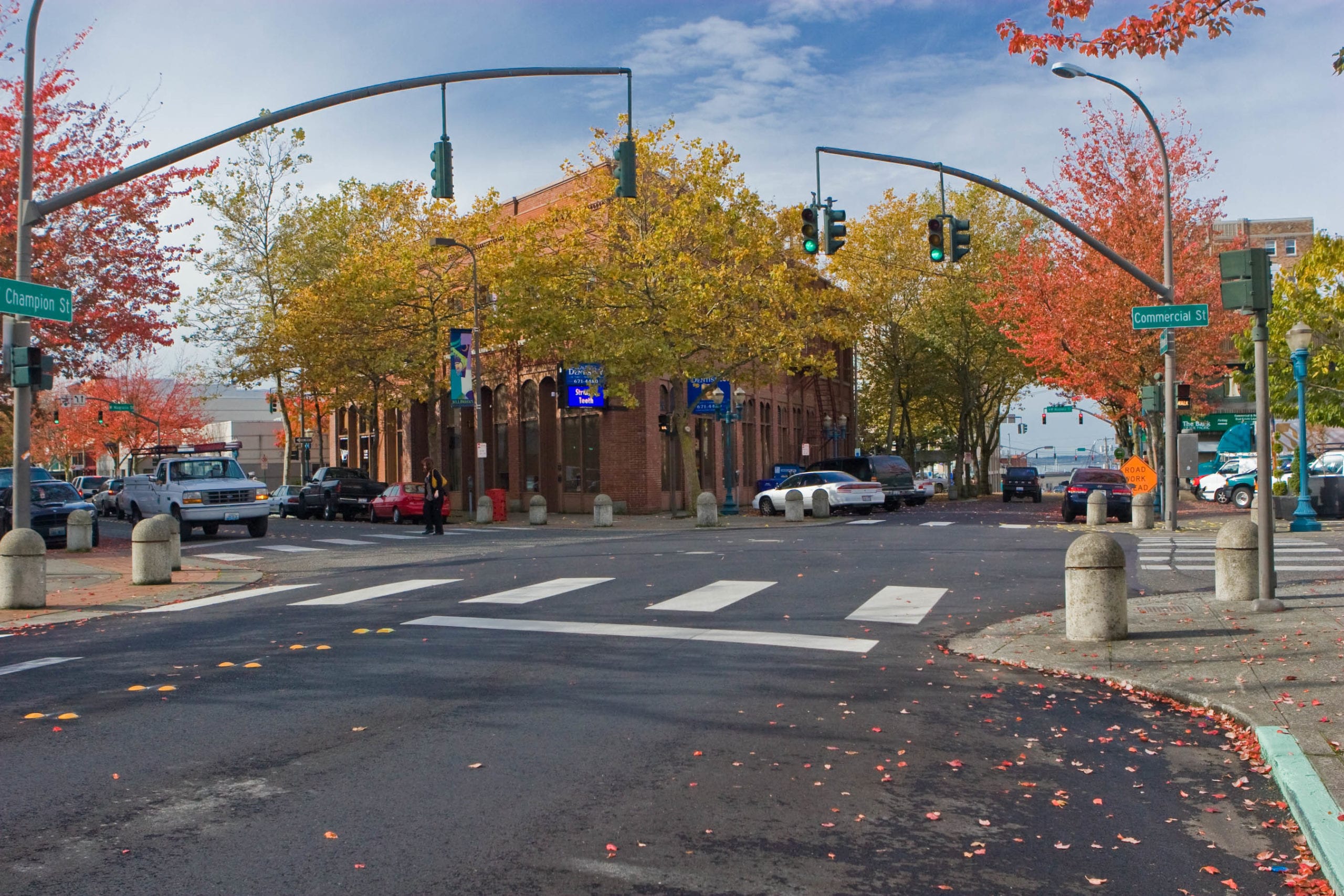
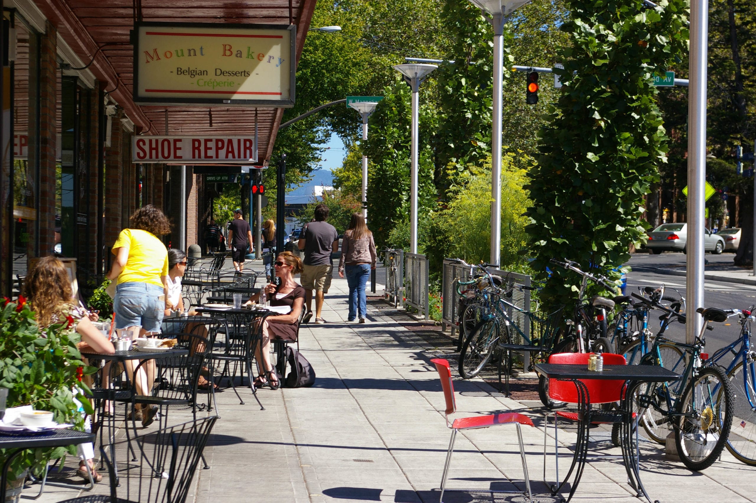
The City Center is a collection of smaller “neighborhoods,” each of which has distinct features that reflect historical land uses, topography and geographic location. For example, the Old Town area was shaped by the economics of the port of Bellingham, while the Downtown Core has a long-standing tradition of general retail. Railroad Avenue has a unique identity as well, which in part comes from the very wide street that reflects the existence of a rail line earlier in the City’s history.
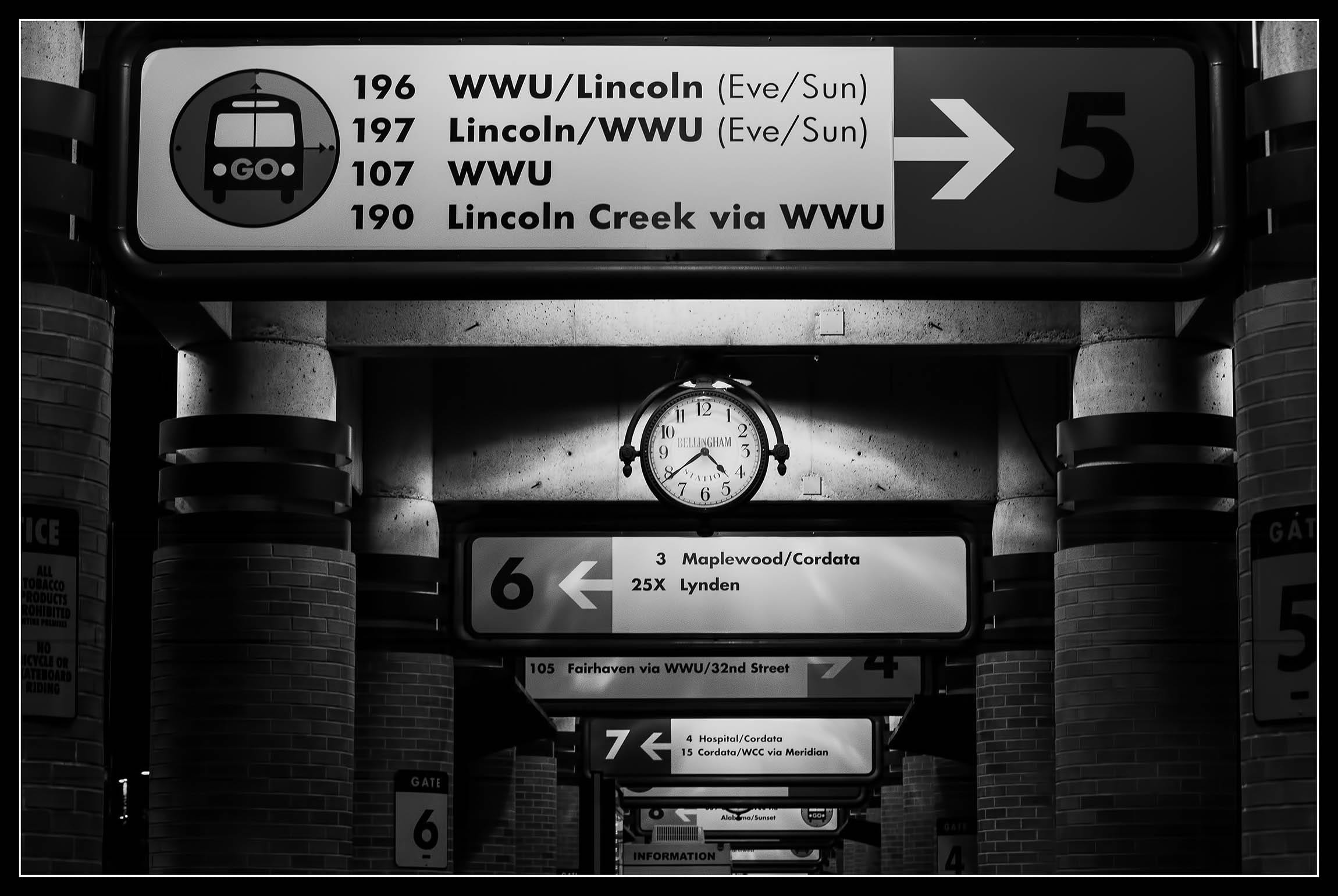
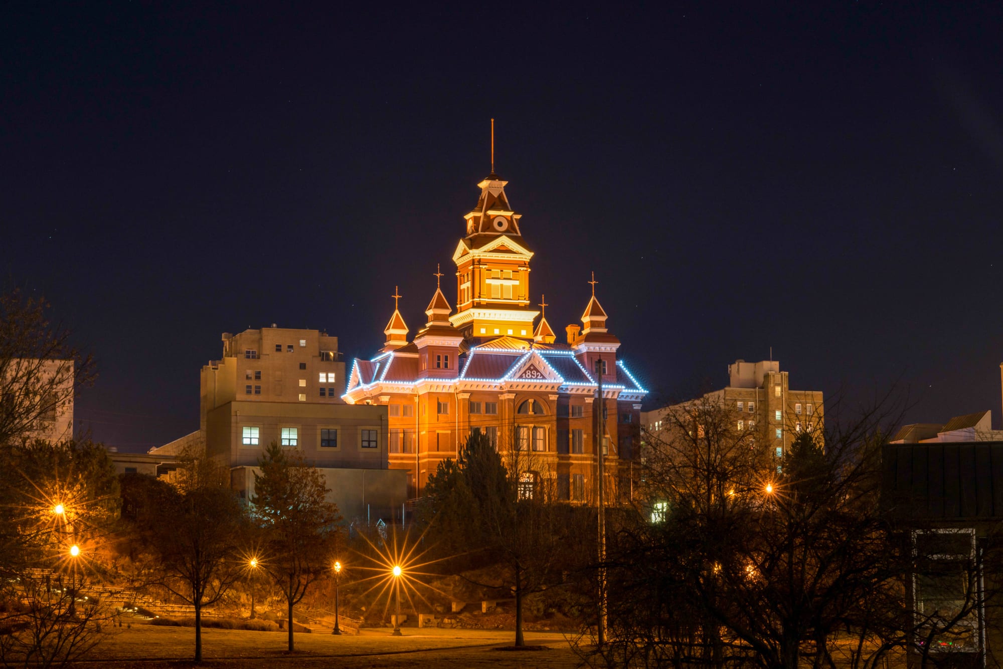
- The Civic Center lies along the northern edge of downtown and spans Whatcom Creek. Buildings in this area house City and County offices as well as a variety of other governmental services including the Post Office and Public Library.
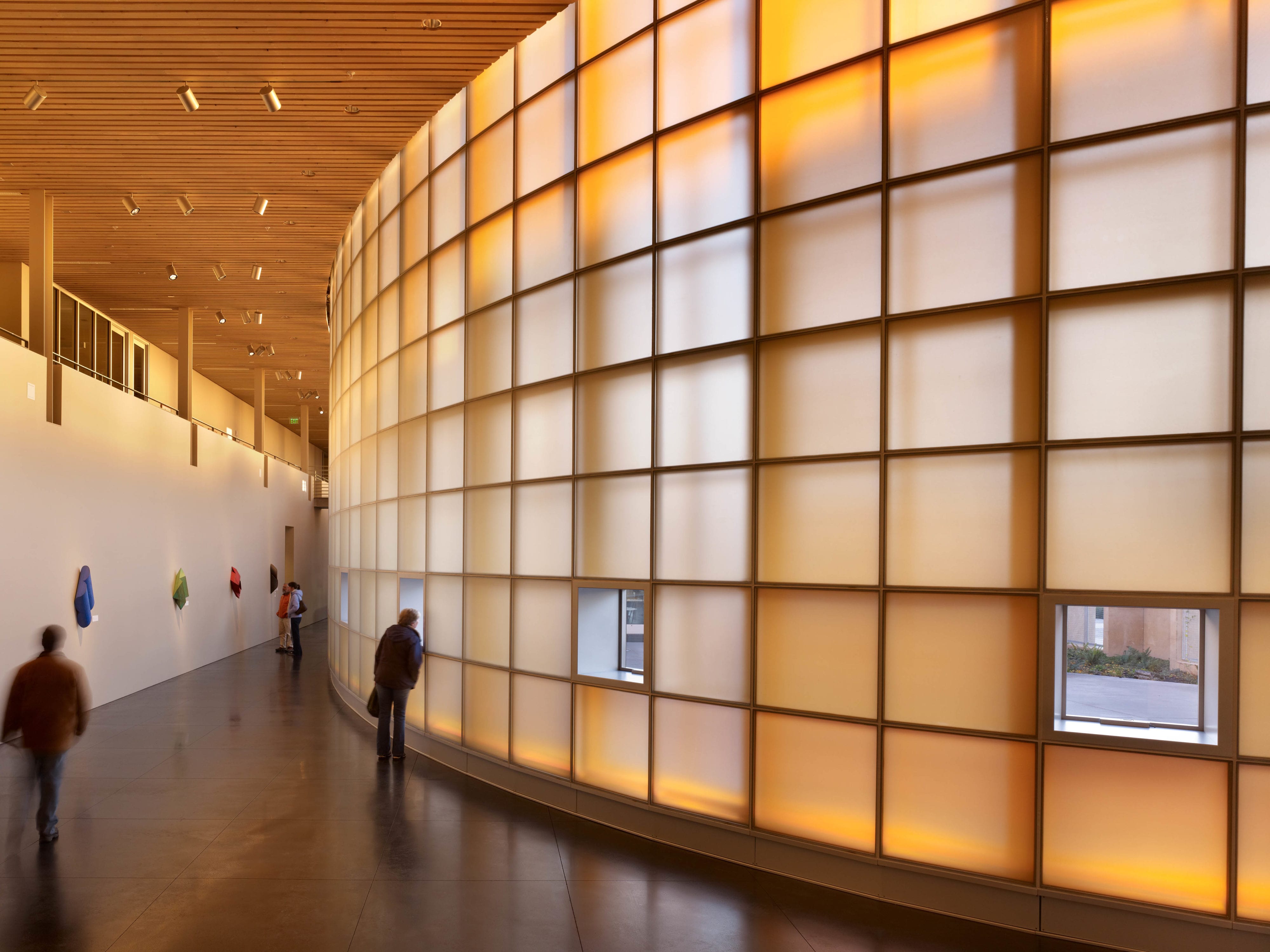
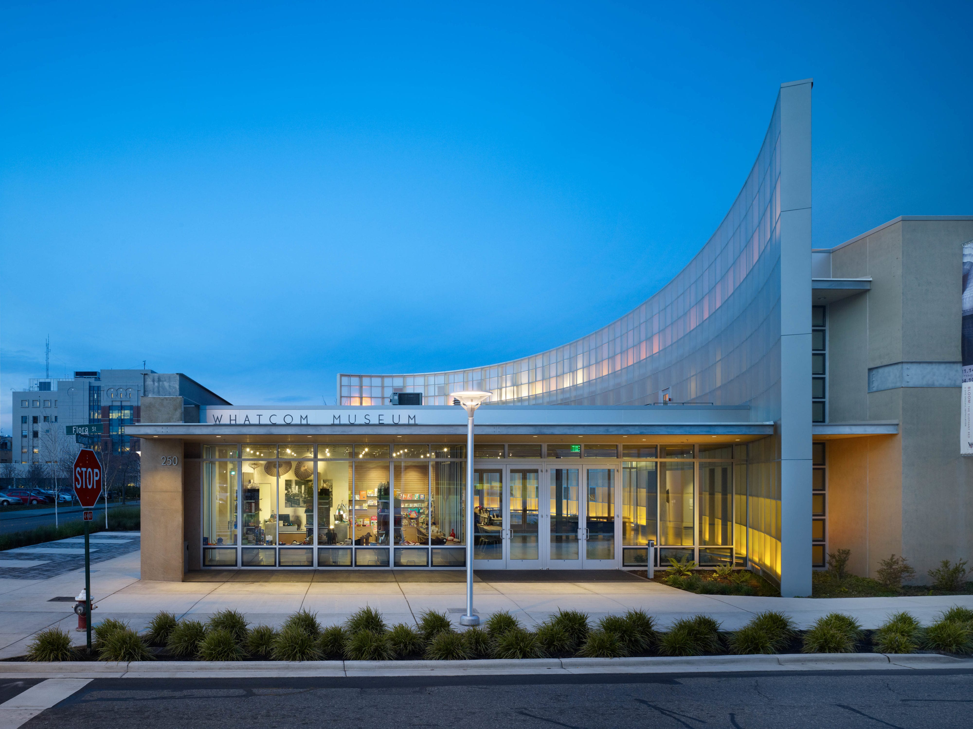
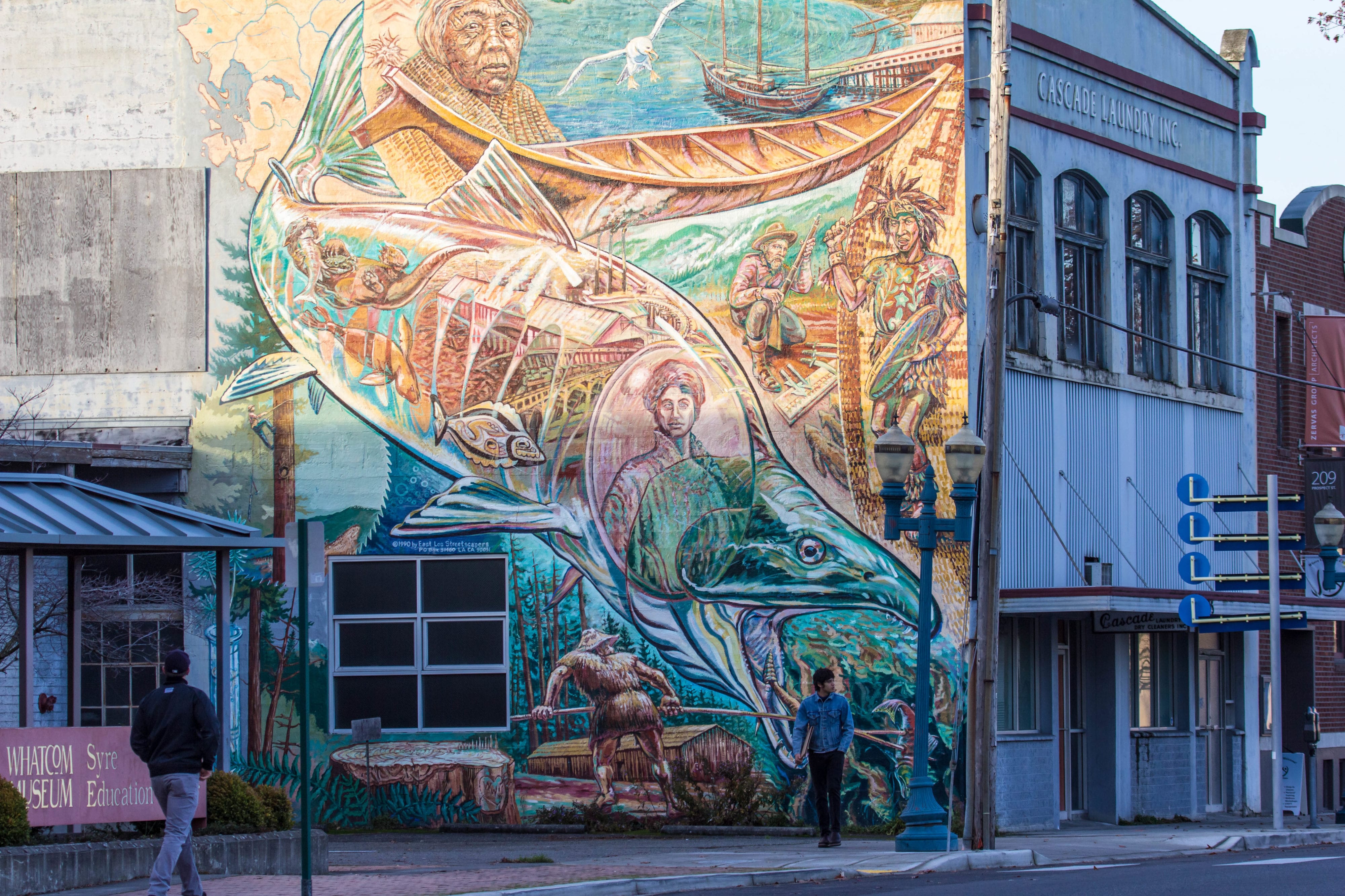
- The Arts District focal points include historic buildings containing the Whatcom Museum of History and Art and the Mt. Baker Theater.
- The Hill climb, a ceremonial stairway leading from Holly Street to the Civic Center and the Arts District, also serves as an outdoor amphitheater in Maritime Heritage Park on Whatcom Creek.
- Whatcom Creek Trail runs along the northern border of the neighborhood and provides a pedestrian connector from the waterfront to adjacent neighborhoods
The Waterfront District historically supported industrial uses and commercial fishing. It includes Squalicum Harbor Marina, Zuanich Point Park and commercial/industrial areas primarily managed by the Port of Bellingham. The City and the Port have recently joined forces to create a redevelopment plan for 137 industrial waterfront acres acquired by the Port with homes, shops, offices and light industry, as well as parks and promenades, a healthy shoreline habitat along Bellingham Bay, and a new marina.
Historic Resource Survey and Inventory Project
In 2012, the City of Bellingham received a $10,000 grant from the State Department of Archaeology and Historic Preservation (DAHP) to complete a survey and inventory of historic resources in the CBD Neighborhood. The project involved completing inventory forms (reconnaissance level) for and taking photographs of approximately 450 properties in the CBD Neighborhood, as well as portions of the Sehome and Sunnyland neighborhoods.
CBD Historic Resource Survey & Inventory Summary Report (2,690K PDF)
CBD Historic Resource Survey & Inventory Summary Report – Table 1: List of Surveyed Properties (4,526K PDF)
Project Overview Presentation – April 10, 2012 (1,582K PDF)
Consultant Presentation – April 10, 2012 (2,655K PDF)
Project Map
Photos


Resources
Neighborhood Plan (PDF)
Neighborhood Zoning Table
Maps
Aerial photo (719K PDF)
Basemap (4,275K PDF)
Circulation (987K PDF)
Comprehensive Plan land use (704K PDF)
Current land use (1,724K PDF)
Zoning (733K PDF)
