The Cordata Neighborhood is situated in the northern area of the City and is bordered by Meridian Street to the east, West Bakerview Road to the south, and extends to the City limits to the north, west and southwest. The Cordata Neighborhood was formed in 2010 when the boundaries of the Meridian and Guide Meridian/Cordata Neighborhoods were redrawn to acknowledge the area’s changing character, environment and demographics.
Such factors leading to these changes included the increase in residential development and population, presence of Whatcom Community College, the concentration of professional commercial, institutional and industrial uses along Cordata Parkway, and the area’s close proximity to one of Bellingham’s regional commercial areas within the adjacent Meridian Neighborhood.
The Cordata Neighborhood contains a variety of land use zoning designations consisting of Public and Planned: Residential, Commercial, Industrial and Institutional. Development within these designations is regulated under the Cordata Business Park Planned Unit Development (PUD) and the City’s Land Use Development Code, which identifies the development and design standards needed to preserve and protect the character and qualities of the neighborhood area.
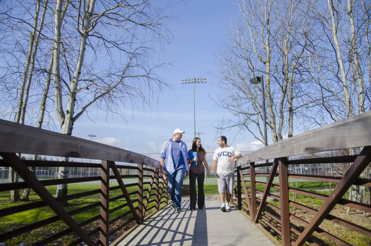
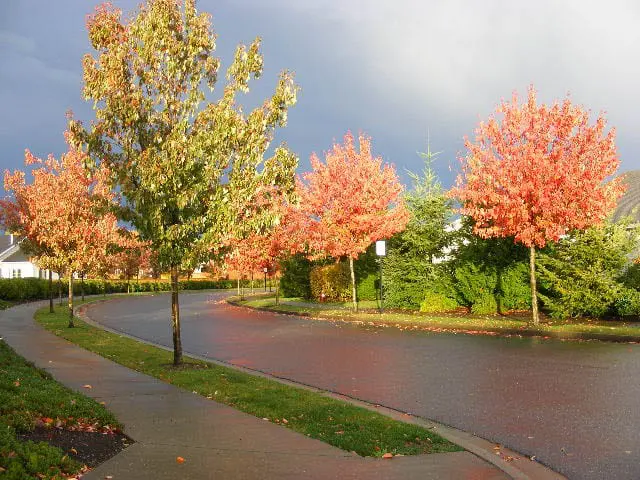
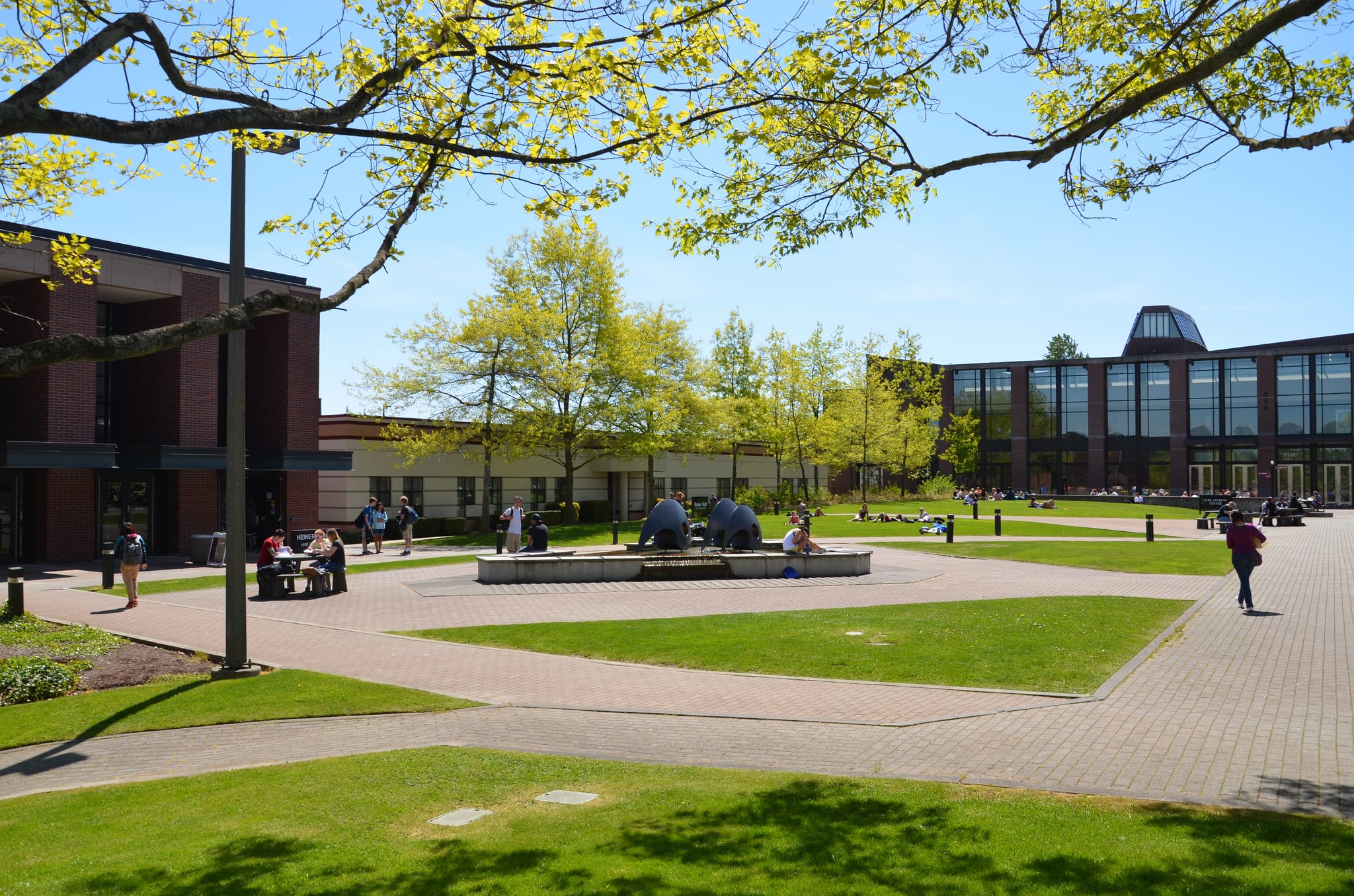
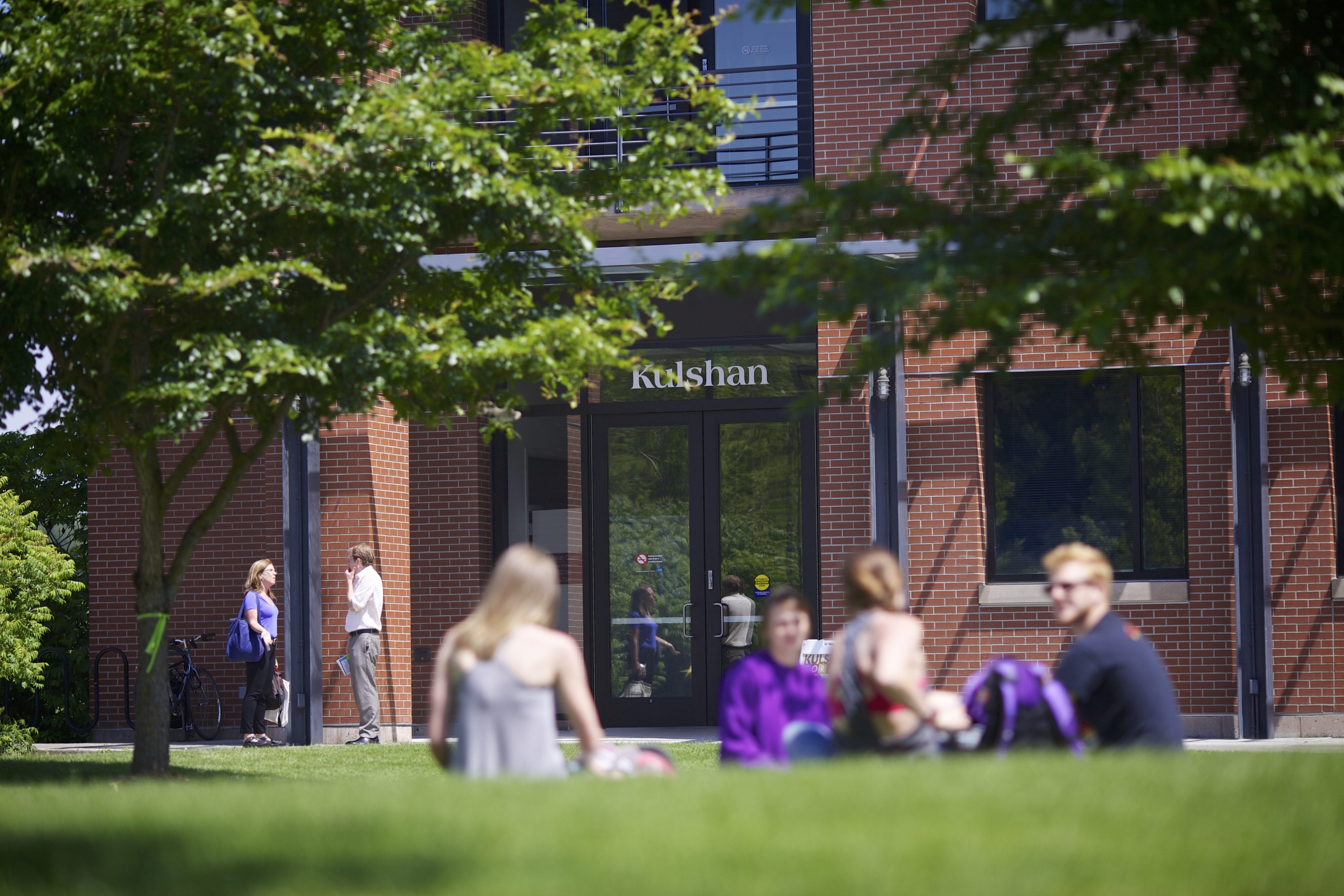
Photos


Resources
Neighborhood Plan (PDF)
Whatcom Community College IMP (PDF)
Neighborhood Zoning Table
Cordata PUD
Maps
Aerial photo (955K PDF)
Basemap (576K PDF)
Circulation (825K PDF)
Comprehensive Plan land use (435K PDF)
Current land use (434K PDF)
Zoning (918K PDF)
Historical Updates
2013 – Neighborhood Plan Amendment
