South of Whatcom Creek and east of Interstate 5, the Puget Neighborhood is a study in diversity. The neighborhood is bracketed by industrial uses on the north and commercial uses to the west along Lakeway Drive and Lincoln streets. Single and multi-family residential areas are located on the south and east portions of the neighborhood. Puget and Toledo Hills occupy the southern and eastern parts of the neighborhood and are developed with single-family homes on medium-sized lots. Homes are well cared for and many have excellent Bellingham Bay or Canadian Cascade views. According to the 2000 census, over 4,100 Bellingham residents call the Puget Neighborhood home (6% of total city population, 3rd highest neighborhood).
Civic Athletic Complex, the most active park and recreation facility in the city, is located at the north edge of the neighborhood. This complex includes the Arne Hanna Aquatic Center, Civic Stadium, Joe Martin baseball field, passive wetland areas, the Sportsplex indoor ice and soccer facility, Frank Geri softball fields, walking trails, a skate park, bike jump park, and undeveloped forest land. A trail link from the park to the Whatcom Creek Trail will provide improved access to this facility from other neighborhoods.
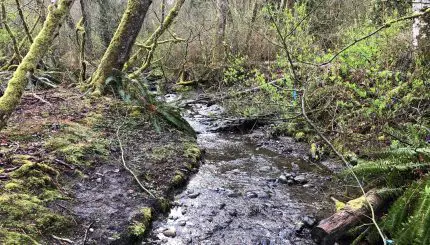
Whatcom Creek is a resource of city-wide interest that bisects Bellingham geographically. The Whatcom Creek Trail provides a connection from Lake Whatcom to Bloedel Donovan Park, Scudder’s Pond, Whatcom Falls Park, Civic Athletic Complex, the Civic Center, Maritime Heritage Park, to Bellingham Bay waterfront through several residential neighborhoods.
Resources
Archived Neighborhood Plans
Neighborhood Zoning Table
Maps
Aerial photo (999K PDF)
Basemap (3,709K PDF)
Current land use (1,599K PDF)
Zoning (336K PDF)