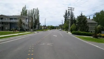
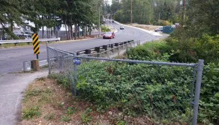
The Irongate Neighborhood was created in 2010 as part of the northern neighborhood boundary review project. Approval of a number of large annexations (including the 640-acre Bakerview/Hannegan area in 1998) caused several of the north-end neighborhoods to grow very large. Some residents asked the City to review the boundaries of the Mt. Baker, Guide Meridian/Cordata, Meridian and King Mountain Neighborhoods in 2009. As a result, the Mt. Baker Neighborhood was divided into two new neighborhoods in 2010, Irongate and Barkley.
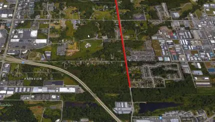
The Irongate Neighborhood contains about 900 acres generally located primarily east of Interstate 5 and north of Sunset Drive to the northern city limits. The King Mountain Neighborhood is located to the west and the Barkley Neighborhood is to the south. Irongate is zoned almost entirely for industrial development (821 acres) and is characterized by industrial and some commercial development (3 acres) in the Irongate industrial area and along Hannegan Road. The area has become one of the major employment centers in Bellingham. The balance of the land in the neighborhood (76 acres) is zoned Public, including Sunset Pond and open space along the Squalicum Creek corridor.
Resources
Neighborhood Plan (PDF)
Neighborhood Zoning Table
Maps
Aerial photo (1,010K PDF)
Basemap (553K PDF)
Circulation (830K PDF)
Comprehensive Plan land use (409K PDF)
Current land use (2,347K PDF)
Zoning (414K PDF)
