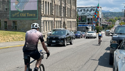
Its physical location on Sehome Hill is a big part of the Sehome Neighborhood’s character. Sehome Hill is a steep bedrock formation rising 650 feet from Bellingham Bay with a northeasterly bearing series of ridges reflecting the underlying rock formations. While there are relatively level “bench” areas without views, much of this neighborhood has excellent views of Bellingham to the north, over Bellingham Bay, or toward Mount Baker in the east. Sehome is also one of Bellingham’s older neighborhoods. Much of the area is within the former Town of Sehome, one of several towns, which consolidated near the turn of the century to become the City of Bellingham. Over 80 percent of the housing in the Sehome Neighborhood is over 20 years old, and much of it is at least 50 years old.
There are many large, architecturally impressive houses of historical value in the older residential part of the neighborhood. The Sehome Hill National Historic District encompasses older homes south of Maple, north of the Sehome Hill Arboretum. All residential areas have mature landscaping and there are several tree-lined arterials, which are highly valued by the residents. Being one of the City’s older and more centrally located residential neighborhoods, approximately 90 percent of the neighborhood is developed, and the population density is among the highest of the city’s neighborhoods. Over 3,500 people reside in the neighborhood in a mix of single and multi-family structures.
The 165-acre Sehome Hill Arboretum is a prominent open space/natural area that defines the southern and western borders of the neighborhood. It is owned and managed jointly by Western Washington University and the City of Bellingham and includes walking trails and dramatic views of Bellingham Bay. Both Laurel and Forest & Cedar are neighborhood parks which feature playgrounds, half court basketball, and open lawn areas for informal play.
Resources
Archived Neighborhood Plans
Neighborhood Zoning Table
Sehome Neighborhood Association
Maps
Aerial photo (847K PDF)
Basemap (3,641K PDF)
Current land use (1,344K PDF)
Zoning (730K PDF)
