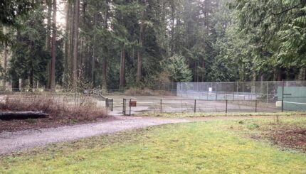
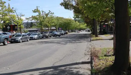
Located west of Interstate 5 and north of Whatcom Creek, the Sunnyland Neighborhood is as diverse as any Bellingham neighborhood. Industrial uses (some located in older homes) dominate the southern third of the neighborhood. Multifamily and single family areas surround a neighborhood commercial area at the Alabama/James Street intersection. This neighborhood, home to over 2,200 Bellingham residents, also includes open space and play fields at the reconstructed Bellingham High School, Sunnyland Park, Sunnyland Elementary School and adjacent Memorial Park.
The northern section of the neighborhood contains low density residential uses, and the western part higher density residential uses. The residential character of this neighborhood is generally one of single family two-story older homes, with many families having lived there for many years. Many of the homes in the neighborhood have been well maintained.
Resources
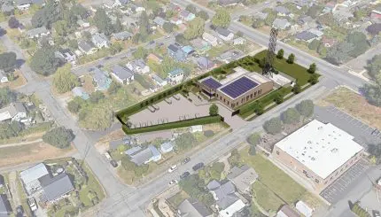
Rezone Request of 510 E Sunset Dr.
Archived Neighborhood Plans
Neighborhood Zoning Table
Sunnyland Neighborhood Association
Maps
Aerial photo (1,026K PDF)
Basemap (3,316K PDF)
Current land use (1,704K PDF)
Zoning (204K PDF)